I use the map functionality in the iHunter app (Android, iOS, and web):
In iHunter, we can add custom layers by entering a service URL. For example, I can successfully add this WMS URL to iHunter:
https://maps.geogratis.gc.ca/wms/CBMT?service=wms&version=1.3.0&request=GetCapabilities
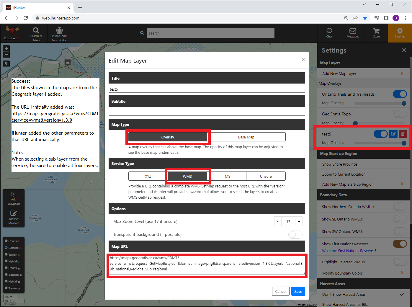
That GeoGratis WMS URL works as a quick test; the tiles show up in the map as expected. But what I really want is to do is add a custom raster map to iHunter. This is the map: Ontario Geological Survey Map 2499 Marble Lake (page 3).
Question:
How can I publicly serve up a georeferenced version of that map/image as a WMS, TMS, or XYZ service/URL — for personal use in iHunter?
As far as I can tell, AGOL doesn't directly support sharing a WMS URL:
And while ArcGIS Server does seem to directly support WMS (ArcGIS Server - WMS services), ArcGIS Server isn't available for personal use or as a trial; it's only available for commercial use for tens of thousands of dollars. And would require a high level of expertise to set up. So I don't think that helps me.
If I've understood correctly that AGOL and ArcGIS Server aren't applicable here, can anyone recommend any alternative products or vendors that would be suitable?
A contact suggested I could:
...tile it with a program like MapTiler, then host the tiled imagery on a webserver (not just a file sharing service) in XYZ format which can also be imported. You would need to have some web hosting with a webserver such as Apache or Nginx running and host the files there.
But that's beyond my skill level. I'm hoping to find a solution that's a bit easier.
Any ideas/insight?
Thanks.

