Hello,
I'm trying to import an IFC File in ArcGis Pro, but the position and the scale of the elements whitin the file are uncorrect.
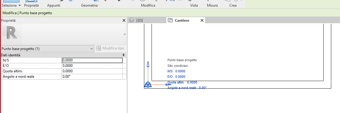
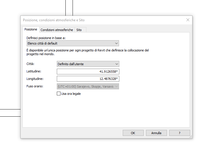
I made the model in Revit and I have set the survey point to a specific latitude (41.9126558°) and longitude (12.4876328°) and the project point on 0,0,0 and this two point are extacly one on top of the other.
I have exported the file and in IFCSITE I have the expected conversion of decimal degree coordinates:
#6= IFCCARTESIANPOINT((0.,0.,0.));
#146= IFCAXIS2PLACEMENT3D(#6,$,$);
#147= IFCLOCALPLACEMENT($,#146);
#148= IFCSITE('3Iv10iF8j4ixXRy$AtdWGp',#41,'Default',$,$,#147,$,$,.ELEMENT.,(41,54,45,560879),(12,29,15,478079),0.,$,$);
and the position of the IFCSITE in the 3D World is in 0,0,0 position.
Now, when import the Ifc file in ArcGis Pro the building position is in the latuditude and longitude 0, why?
And I have a wrong scale of the building.
In the ArcGis Pro my map has WGS 84 like coordinate system and Ifc file has the same coordinate system, but the result is:
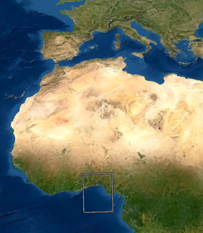
The building is in Afric with a giant scale and not in nearby of center of Rome.
Thanks in advance.


