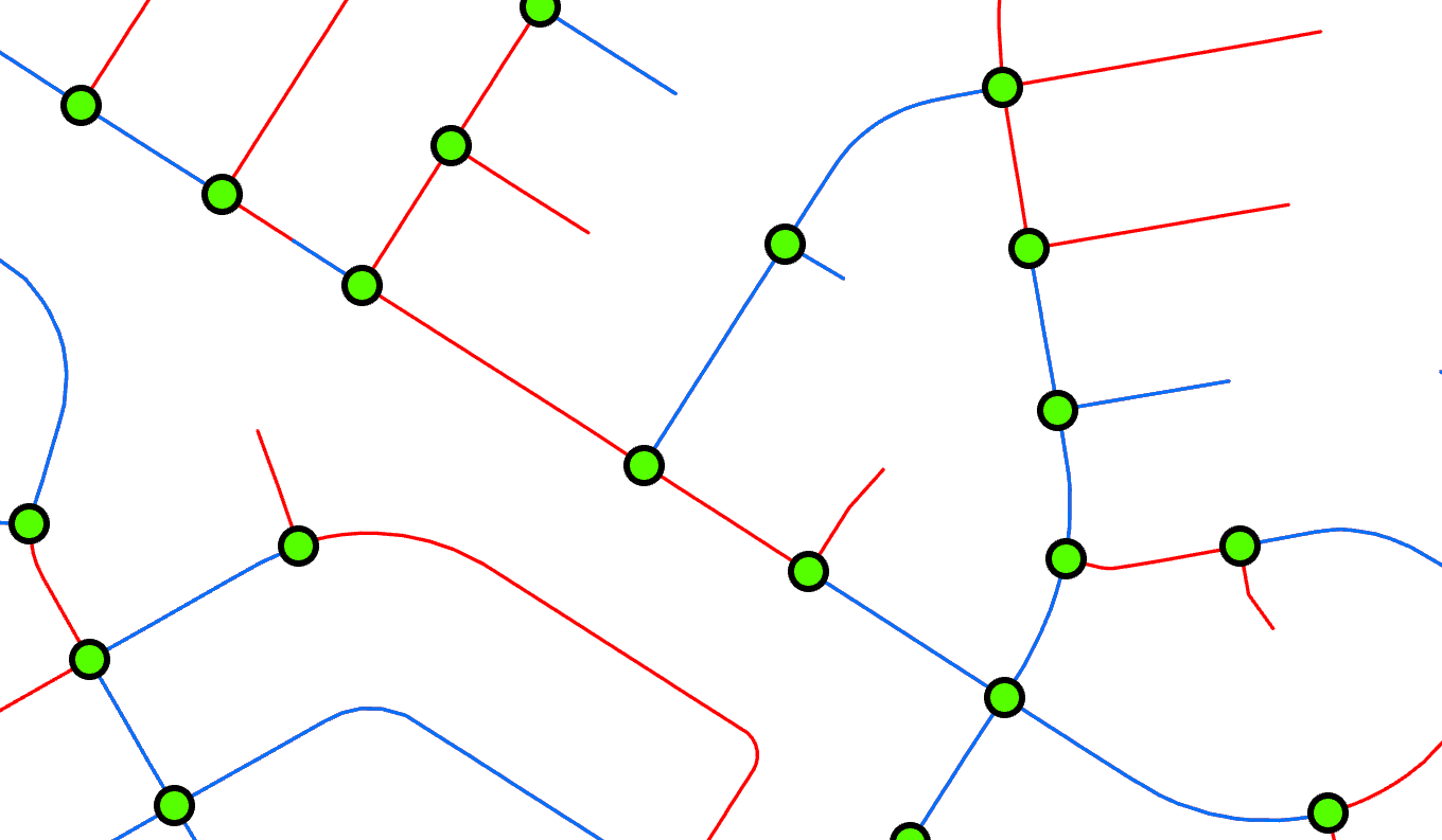
I have a Lines Feature Class (13,000 street centerlines) and a Points Feature Class (7,000 intersections). Each point intersects from 1 to 4 lines. I would like all the lines that intersect each point to include the attributes from the points. Any ideas on how this can be done? I tried spatial join and it did not seem to get me what I need as explained here:
I have used the spatial join geoprocessing tool. But this only joins 1 to 4 of the intersecting lines to each point but does not do so at every location. As shown in this image, the green points are intersections, the blue lines are the lines that a point was spatially joined too, the red lines are what was not spatially joined.