Hi,
I have to obtain many informations from .las files containing LiDAR data.
I have to do that programmatically through my .NET Add-In (written in C#) for ArcGIS Pro 2.9, possibly without loading them in TOC as layers.
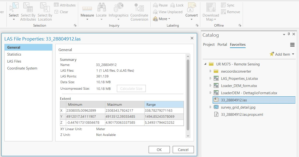
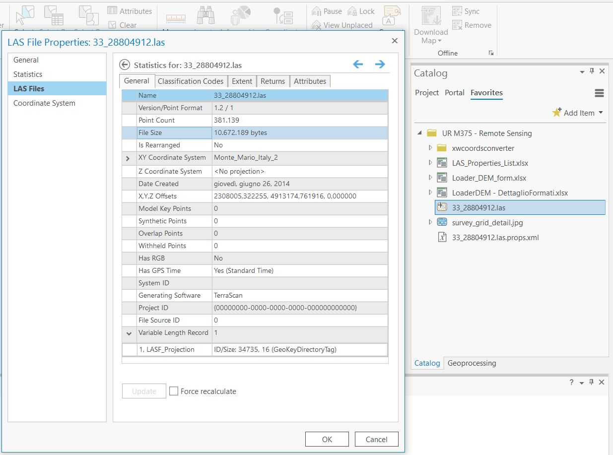
These information are natively accessible from the Catalog pane of ArcGIS Pro, by going on the Properties of the specific LAS file and on the Details of it, as shown below.
I've tried exploring some class of the SDK like CIMLASDatasetLayer, LASDatasetLayer, LasDatasetItem, but none of them helped me much.
For instance, I don't know how to get the list of Classification codes (Unassigned, Groud, etc) or the LAS version (1.2) or the Generating Software (TerraScan).


