I have a KMZ file that has a Ground-Overlay. I uploaded to AGOL and used Map Viewer Classic to plot it and it works correctly (the green bar in the Map below).
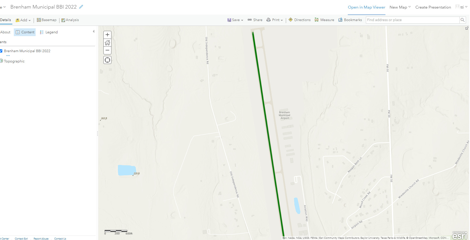
But when Map Viewer is used to view this map, the overlay is distorted. The overlay (green bar) is skewered in the map below.
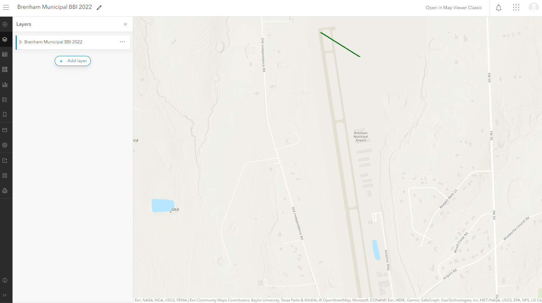
The attached zip file contains the KMZ file. I need to add this map to Web Experience Builder, and that has the same issue with the green line not plotting correctly in the map.
How do I get this KMZ file to plot correctly in Map Viewer?

