Hey all,
I'm trying to import a .dwg Land use model. It was provided by the local government.
However, I'm not really getting behind how to import it correctly.
From what I've read, '.dwg' files are added to the project via 'Add data', right?
The files are shown in the middle of nowhere, whereas the Land use model is for a municipality in Germany.
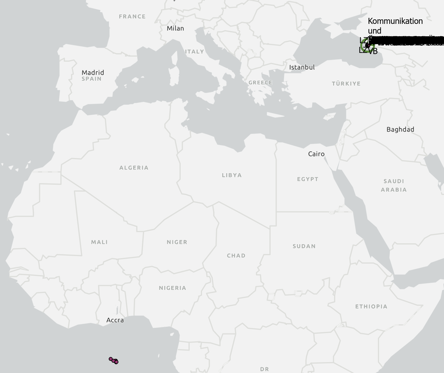
Could you please let me know how to adjust the spatial reference?
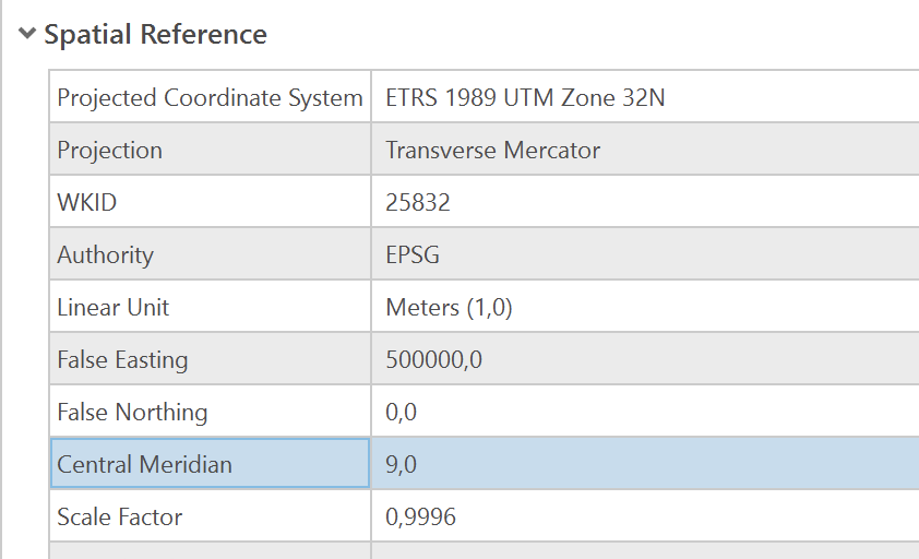
The Projected Coordinate System itself would actually be correct (I'm working with the ETRS 1989 UTM Zone 32N):
Thanks for your help!


