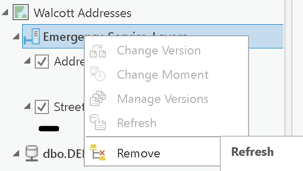
I have been using branch versioning for a while for my parcel fabric. And now I wanted to use this sort of feature service for more of my data layers. I have a SQL server database, and have successfully created a database connection, with a geodatabase connection type of "branch versioning." And I have been able to actually edit using the feature service that I created. My only problem is that I cannot seem to change from the default version and create any additional versions. When I right click on the data tab to try to manage the versions, it is grayed out. See below:
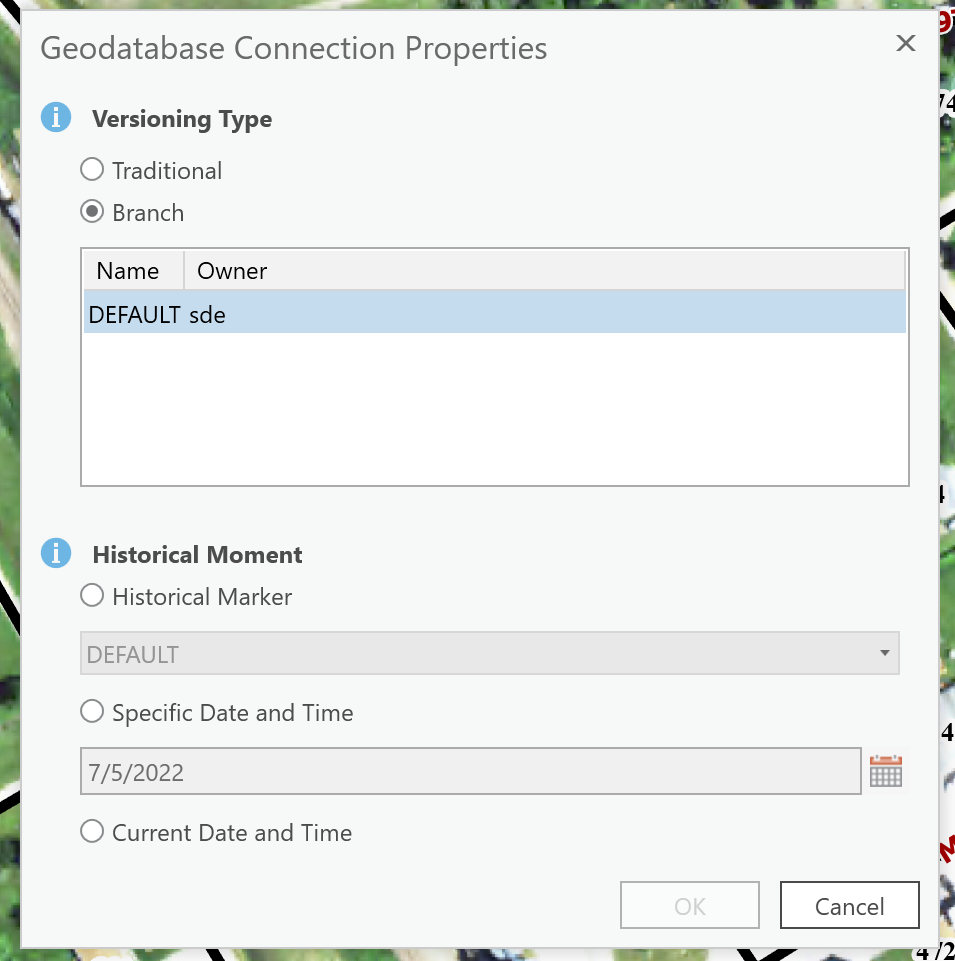
When I go to the connection properties, this is what I show:
I am not sure what I missed in the process of setting this up. Any ideas?
Thanks,
Matt Syvertson


