Hello
I have some GPS tracks of routes to the same point. Becauce of this routes are splited in the suburbs of the town some of them overlay in the City area.
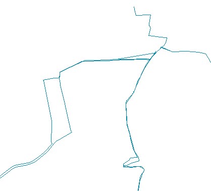
(it's an excerpt)
The lines are merged in dissolved with a own model by the folders in which they are saved. The folders contains e. g. the tracks for the routh from south ("Sueden_blau"):
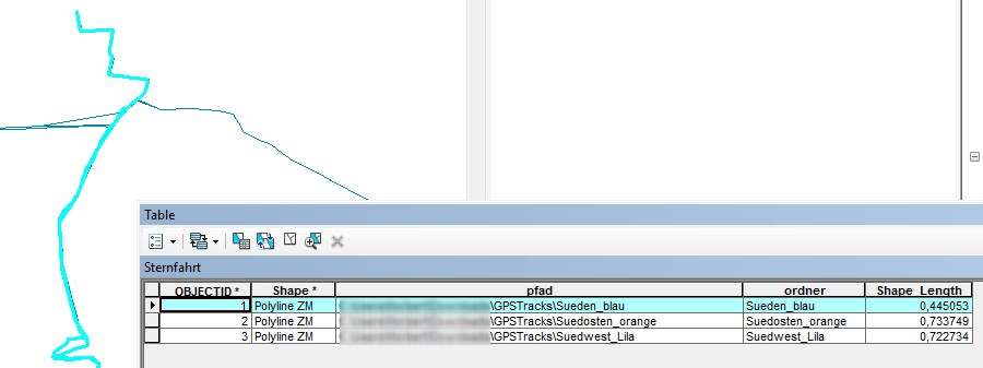
For a nice map and calculat the length of the route network, i want them to aggegate to one line.
I find Toolbox > Cartography Tools > Generalization. But e. g. this tools doen't help me.
http://desktop.arcgis.com/de/arcmap/latest/tools/cartography-toolbox/an-overview-of-the-generalization-toolset.htm
Cane somebody help me?
Best Regards
GISTutor

