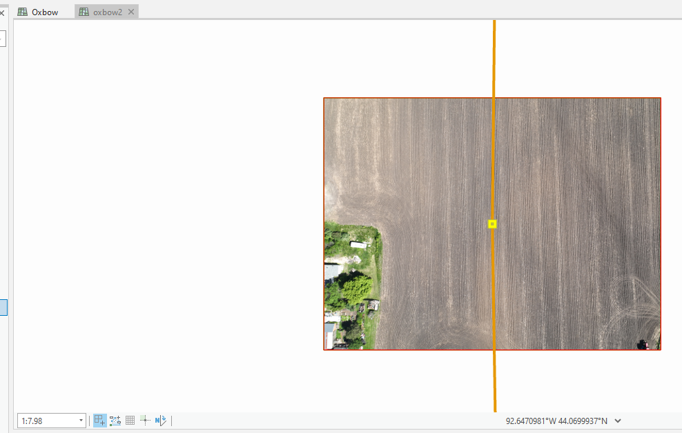
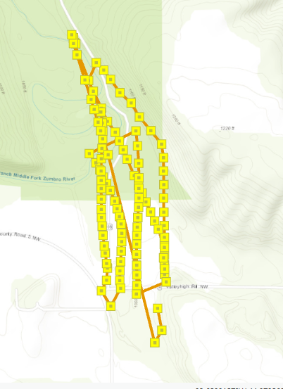
I was able to load many images in along a flight path into a workspace, but I can't actually see them until I'm zoomed in to 1:7. Yikes! Is this normal? None of the examples I've seen do this, and I'm having trouble running Adjust... wondering if this is because they are so small and there is no overlap in my images in the workspace (even though there is like 70% overlap actually). I'm new to ortho mapping with drone imagery. Not sure if I missed something, but the metadata seemed all filled out correctly by default!