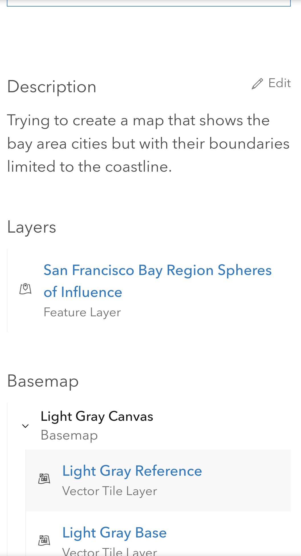
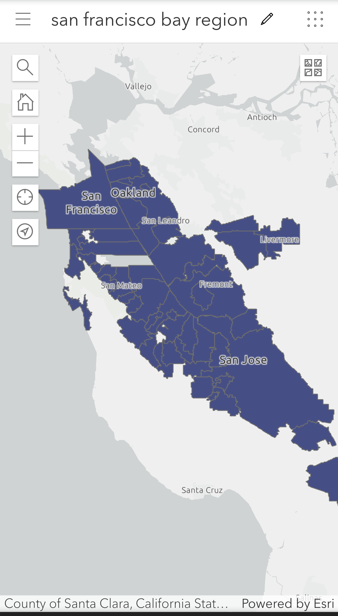
Hi everyone, I am trying to create a map that shows the cities of the San Francisco bay area. For this, I found a layer shown in the attached screenshot. I want to further refine this by limiting the city region polygons to the coastline. I also have a csv file that lists some numerical data for each of the cities. When I tried uploading it as content and bringing it into the map via tables, I didn't get the desired results.
I am still very new to gis, so any help to relevant tutorials would be really appreciated.