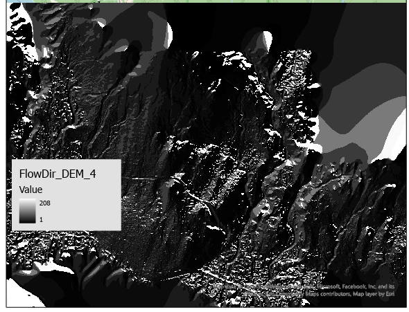
Hi, I am using ArcGIS Pro 2.9.0. I would like to know why I got other values aside from the eight output directions (1,2,4,8,16,32,64,128) when I applied the flow direction tool to my elevation raster cell (DEM). I used the sink function to see whether those values correspond to sinks. It seems that was not the case. However, It output correctly if I used the fill tool on my elevation raster cell before applying it to the flow direction tool.
I would like to know what the other values mean and how to get the correct flow direction output without using the fill tool because I would like to keep the depression points in my raster.
Thank you