Hi there. I am fairly new to Python and I am struggling to get my first Python Toolbox to work.
The purpose of the tool is to create a fishnet over a set area, before selecting cells within the fishnet that intersect a boundary shapefile. Cells that do not intersect the boundary are deleted. See this example below which uses the UK:
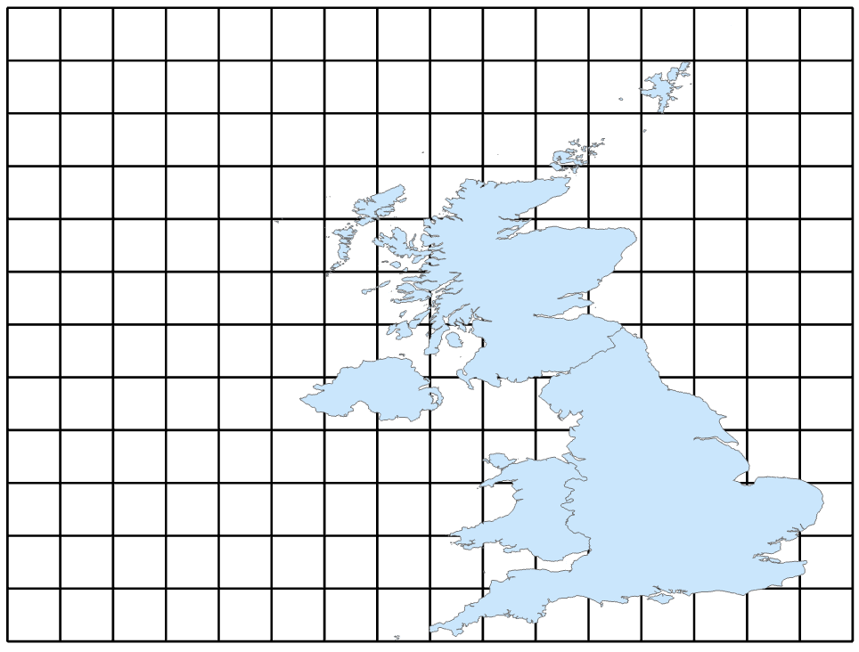
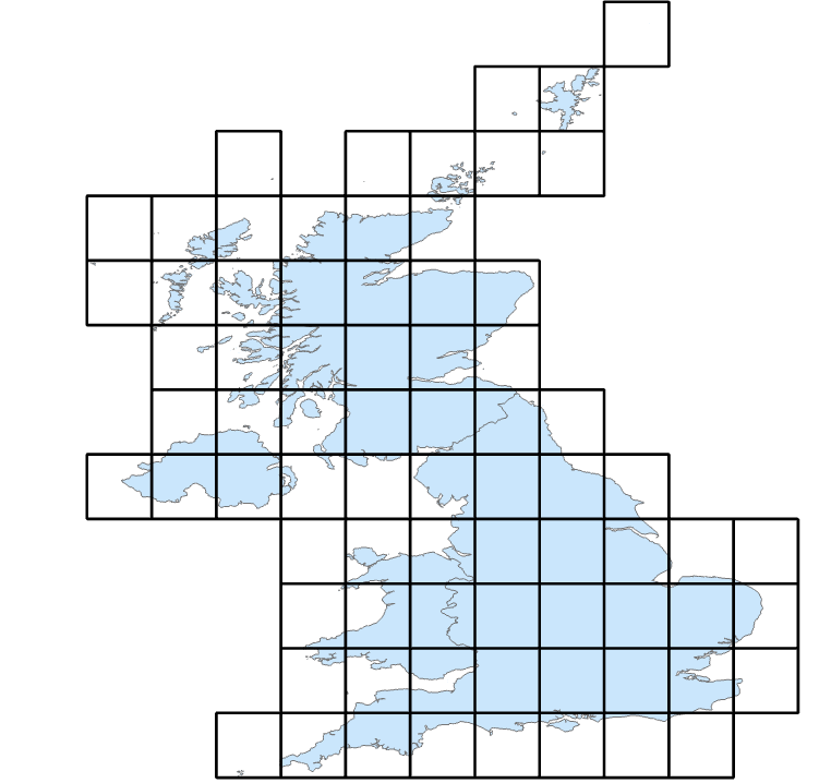
The boundary shapefile has been set up to be a selectable parameter inside the tool. My current script looks like this:
# -*- coding: utf-8 -*-

import arcpy


class Toolbox(object):
    def __init__(self):

        self.label = "Toolbox"
        self.alias = "toolbox"

        # List of tool classes associated with this toolbox
        self.tools = [Tool]


class Tool(object):
    def __init__(self):

        self.label = "Tool"
        self.description = ""
        self.canRunInBackground = False

    def getParameterInfo(self):

        # Param 0 = UK Boundary
        param0 = arcpy.Parameter(
        displayName="Input Feature Class",
        name="Parameter0",
        datatype="GPFeatureLayer",
        parameterType="Required",
        direction="Input")
        param0.filter.list=["POLYGON"]

        params = [param0]

        return params

    def isLicensed(self):

        return True

    def updateParameters(self, parameters):

        return

    def updateMessages(self, parameters):

        return

    def execute(self, parameters, messages):

        # Overwrite existing file of the same name
        arcpy.env.overwriteOutput = True

        # Reference Parameters
        input1 = parameters[0].valueAsText

        arcpy.management.CreateFishnet(
            "UKFishNet",
            "-13.6913900375366 49.8654174804687",
            "-13.6913900375366 59.8654174804687",
            1, 1, None, None,
            "1.76416802406319 61.527084350586",
            "NO_LABELS",
            "-13.6913900375366 49.8654174804687 1.76416802406319 61.527084350586",
            "POLYGON")


        arcpy.management.SelectLayerByLocation(
        "UKFishNet",
        "INTERSECT",
        input1,
        None,
        "NEW_SELECTION",
        "INVERT")

        arcpy.management.DeleteRows("UKFishNet")


        return
However, when I run the script - although I get no errors - I simply get an empty shapefile ("UKFishNet") sent to my geodatabase. Can anybody provide some guidance on what I'm doing wrong? Any pointers would be very much appreciated!


