Hi all,
I changed the reference system using the Change Asset Package Spatial Reference tool.
This operation creates an empty Utility Network dataset.
Then I filled the Feature Classes with my own data with the Data Load tool (Including the Service Territory)
Then I ran the Add Spatial Index tool for each feature class.
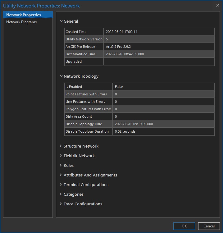
Afterwards, when I run the Enable Topology tool, it did not give an error, but the topology is not enabled. No any record are created in the dirty ares layer.
Is there a missing step in the work steps?
Im using ArcGIS Pro 2.9.2 - File Geodatabase
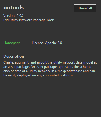
Untools Version 2.9.2