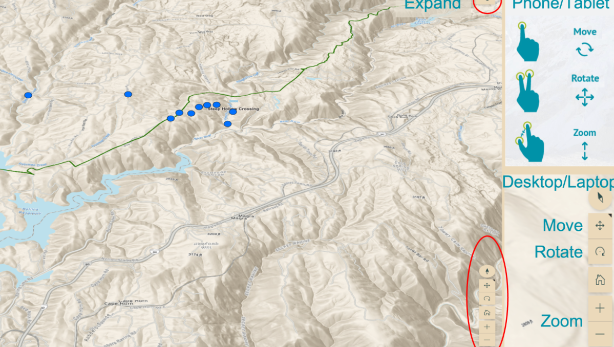
They specialize in working with non-profits and providing them with map-based, geographic-aware solutions (mobile apps, Story Maps, ArcGIS, Survey123 integration etc...), and they are actually one of the first Esri business partners to secure the non-profit Specialty designation! They've recently deployed a StoryMap for Donner Historical Society to recreate the rescue of the Donner Party (near Lake Tahoe) 175 years ago. This involves live tracking with Garmin GPS (which writes to an ArcGIS Online feature layer) and posting photos using Survey123.
Nice stuff BPDS!
See the story map HERE
Also Related:
Non-profit Specialty
GIS for non-profits & NGOs
