Hello Everyone,
It seems that there is a bit of an issue with showcasing DEMs within local scenes in ArcGIS Pro. The DEMs were made in ArcMap and shown in ArcScene where they show up absolutely fine with minimal steps of adjusting the vertical aggregation.
Unfortunately ringing this in ArcGIS Pro , it always shows up as 2D layers. We understand that we will have to add them as elevation layers but this just creates a depression within the ground (as it is a subsurface layer) and the layers does not look anywhere near how it should look in ArcScene.
Also since this is a subsurface model of a lake, we were exploring the methodologies of creating and publishing voxel layers and that too would not yield any good variation.
We have worked with multidimensional rasters many times with ArcGIS Pro and their 3D capabilities are amazing but why can't it just render simple surfaces which show up absolutely fine in ArcScene. We are obviously doing something wrong here so any direction on what to do next would really help us out.
An image below shows how the layers shows up in a local scene in ARcGIS Pro.
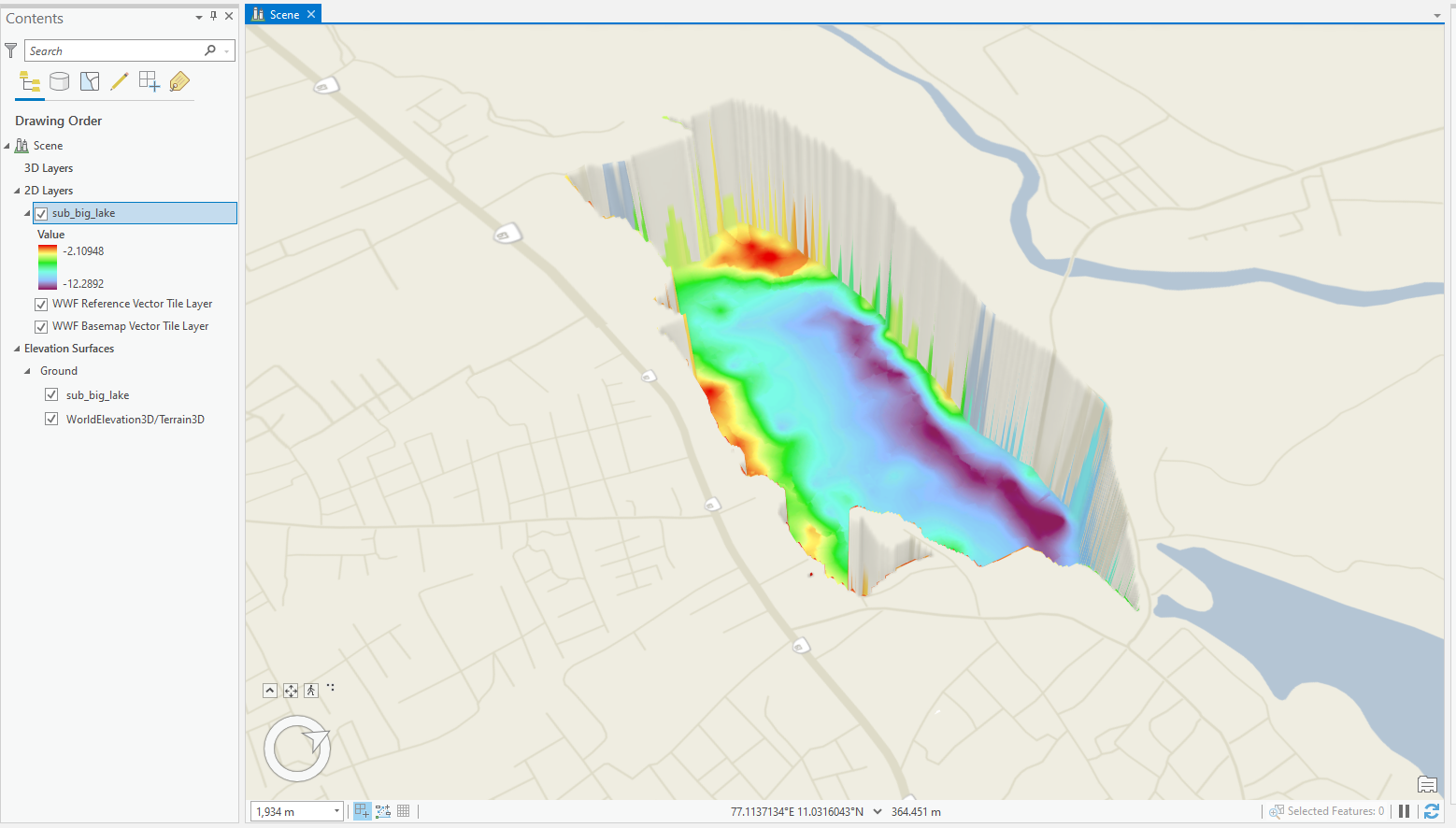
The raster was added as an elevation source and as a layer for symbology.


