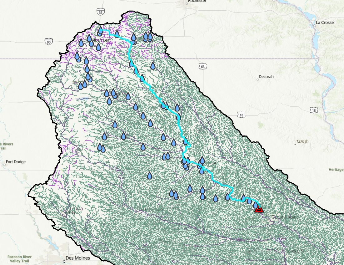
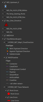
I have a site which is in Red Triangle and a series of dams (blue ones) which are upstream with respect to the site. I am trying to compute the shortest path or stream distance from the site to each dam in the network. Currently the dams are not on the Hydro Network, but they are in the form of a separate feature class. I see the shortest path in trace networks works only with two starting points. Is there a way I can assign the site and all the dams as the starting points to compute or return the shortest path distance from site to each dam. I was able to compute the shortest path and distance by manually selecting the site and one of the dam as shown above. How can I reproduce this workflow for each dam in this scenario. I see the TN_TEMP_STARTING_POINTS accept only two starting points. But I was wondering if there is way to keep one starting point (red site) fixed and iterate over rest of the all the starting points (blue) in order to compute the distance. In addition, is there a way to store the distance shown in the messages in the form of a table or through Python Scripting?

