Hello,
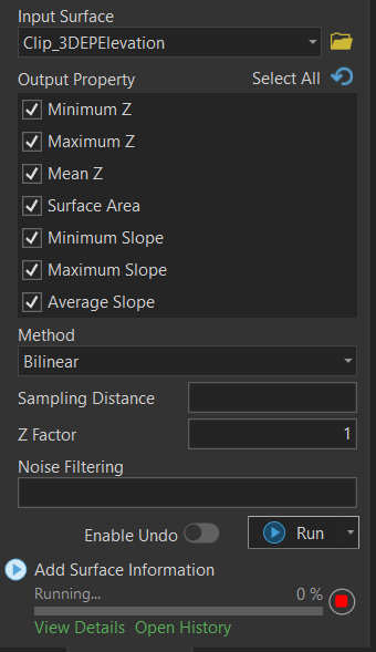
I'm currently experience issues in which the geoprocessing tool is stuck at 0% for adding min, max, and mean parameters of Z and slope to a polygon layer. My elevation raster is from USGS 3DEP but I've clipped it to the local area of interest only in hopes of speeding up this process. I'm using the latest ArcGIS Pro 2.9. The clipped raster is about 9gb and the polygon layer is 441 records of circles at 200' radius. Anyone else running into this issue before?