Hello,
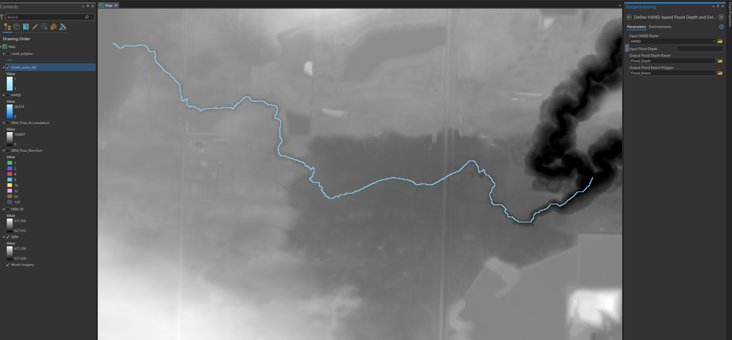
I am trying to delineate a floodplain of a small creek in ArcGIS Pro 2.9 with Arc Hydro.
I have been following the workflow presented in the recent webinar: Arc Hydro: Flooding and Forecasting.
1. Filled sinks in LiDAR-based DEM
2. Flow Direction and Flow Accumulation
3. Flow Distance to create a HAND raster
4. ArcHydro tool: Define HAND-based Flood Depth and Extent
How do you determine what the 'Input Flood Depth' parameter should be?
The webinar mentions it is the vertical threshold, but am unsure what that means. Is it the max depth of the creek?
I only have LiDAR data, the DEM, and the creek line/raster available.
Any advice on this tool is appreciated, thanks!