One of two tiled image layers appears blurry in Field Maps but just fine in an Instant App. In field maps, the layer does load in the pre-made offline map but it is not legible and new tiles are not loaded when zooming in and out. This layer was published from a raster catalog and I have seen the same issue in both an Android and iOS mobile device.
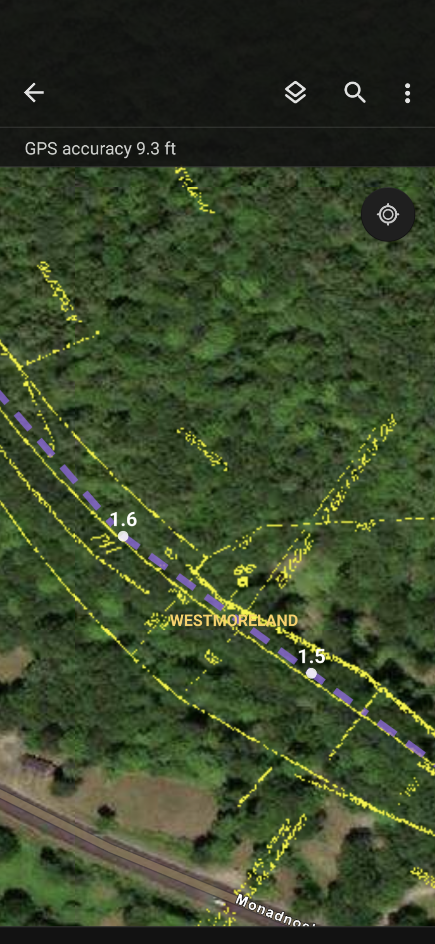
Here is the online map - it looks great even when zoomed in.
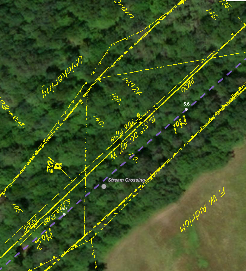
By the way, if anyone has experience georeferencing railroad valuation maps or knows of some resources that would be applicable, please send them my way!

