I am trying to cut a highway according to the extent of the screen. The following screenshot is a visualization of the cut boundary (vertical dark green line), and the resultant geometry after the "cut" operation
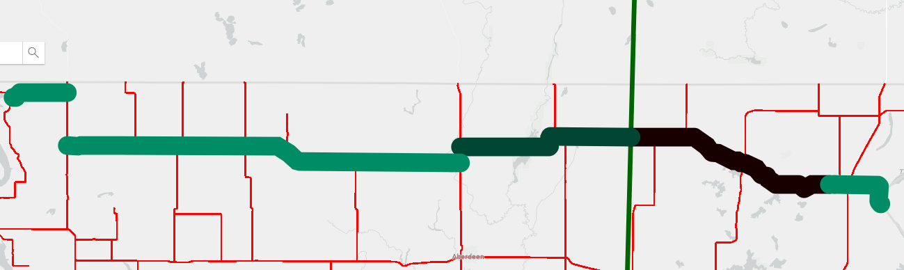
As you can see it creates an array of three geometries (index 0 is the black line, which according to the documentation should be to the left of the vertical line. The light green line somehow spans either side of the cut line. Then there is a section that touches the cut line. Not sure what's going on here. I might try to tackle this issue a different way.


