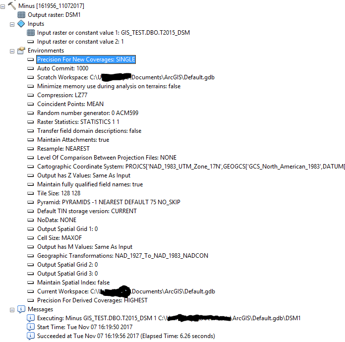
I'm getting a strange clipped output and I cant figure out why.
I have a DSM and DTM from the same lidar
I'm doing a very simple "Minus" GP tool... and the output is not as expected
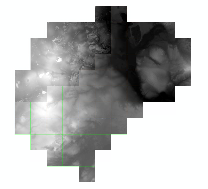
The only portion that comes back is the top left?!
Everything about the 2 input rasters is similar: projection, cell size, etc etc...
The results are perfect, i just cant get it to process the whole area. I'm using a very powerful computer.
This is ~20 sq km in total
Furthermore, I used just the DSM and a constant of 1, and the same area gets processed?
Any ideas why this may be happening?
Cheers
gp output