Hello,
I am trying to convert a pandas dataframe that contains geometry (started from a feature class) to a spatially enabled dataframe using the GeoAccessor.from_df() function. See code snippet below:
sdf = GeoAccessor.from_df(CompDF, sr = 'OBJECTID', geometry_column='SHAPE')
sdf.spatial.plot()
referencing data as shown below for example:
| OBJECTID | SHAPE |
| 0 | {'x': 1587057.9938000003, 'y': 808409.8682000004, 'spatialReference': {'wkid': 32616, 'latestWkid': 32616}} |
But I get a ValueError: Expected object or value
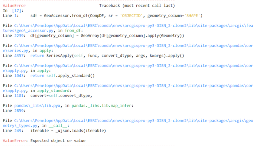
The data types are: OBJECTID is int64, SHAPE is object. I imagine the SHAPE dtype is throwing the error- if so, how do I get the SHAPE dtype to 'Geometry'?
Or what is a good strategy to converting a dataframe with geometry information to a feature class or shapefile? I used to use GeoPandas but since I've upgraded my Pro version (2.8.2) the GeoPandas patch doesn't work in Pro due to compatibility issues.
Thanks for any insights.




