I am trying to make heat maps of where values are concentrated in space from a combination of survey and interview data we conducted of community members using the Count Overlapping Tool. A colleague of mine made some heat maps without additional categories we later identified in the survey data, and they look like this:
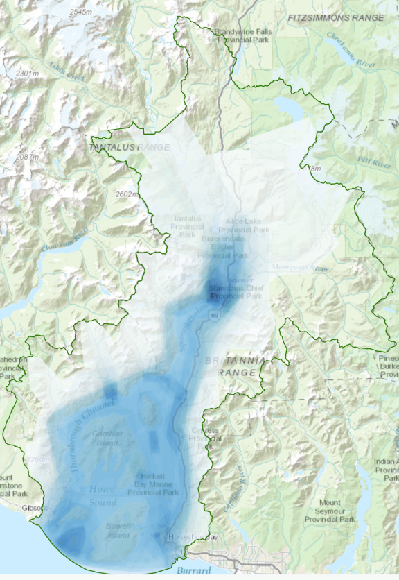
(Furthermore having lived in the area, we both concluded that this map accurately reflect the places)
I then re-made the heatmaps to include these updated categories with the Count Overlapping Tool. However the output is showing areas that don't reflect the survey/interview data with approximately ~70 polygons overlapping one another (I have circled them in the screenshot below).

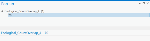
When making the fill transparent these definitely don't look like ~70 polygons overlapping in space
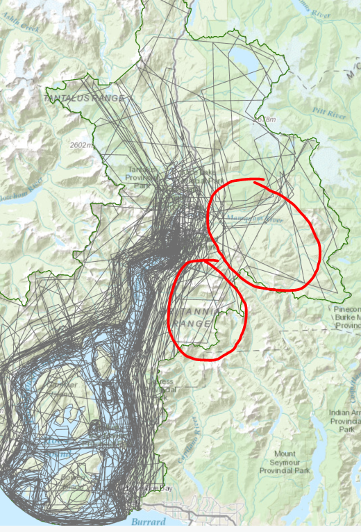
Why these areas are also raising concerns are these areas are very hard to access/not really a place where people go.
The center where so many polygons are concentrated/overlapping that you can really only see lines are showing about 139 polygons overlapping (which makes sense).
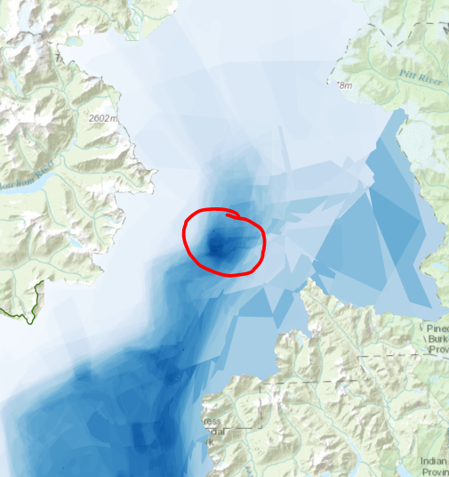
I am wondering if there is another processing step required to ensure polygons aren't double counted? I have tried also running the Multipart to Singlepart followed by a Spatial Join and getting the same output.

