Hello, the goal of what I am trying to accomplish is to subtract the elevation values of one raster from another. I have a .tif file of one raster, and for the other, I have a .csv with coordinates and elevation values, from which I made a point feature. I've tried two things to turn the points into a raster or other:
1)Point to Raster
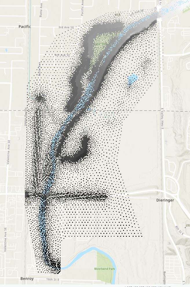
Point to Raster comes out the best, but some points out spread out too thin. Is there a way I can stretch values?
Interpolation didn't seem to be at all what I needed but I saw some suggesting it in previous threads. Any thoughts?


