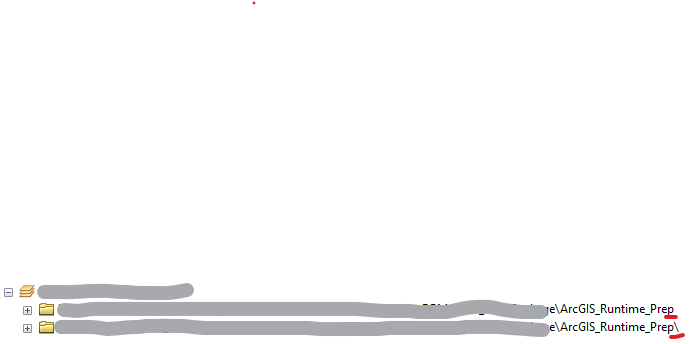
I am trying to share a map as ArcGIS RunTime content, so all the data has to be from the same source. I have all my data in a local folder on desktop. When I list the layers by source in the TOC, the rasters appear to come from a "different" source. It is the exact path name as the vector objects but with '\' at the end. This is why the rasters are being left out of the .geodatabase file i'm assuming. Anyone know why this is happening?