Hey all,
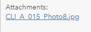
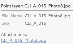
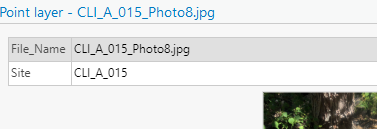
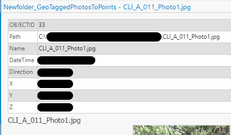
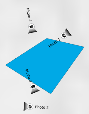
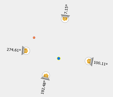
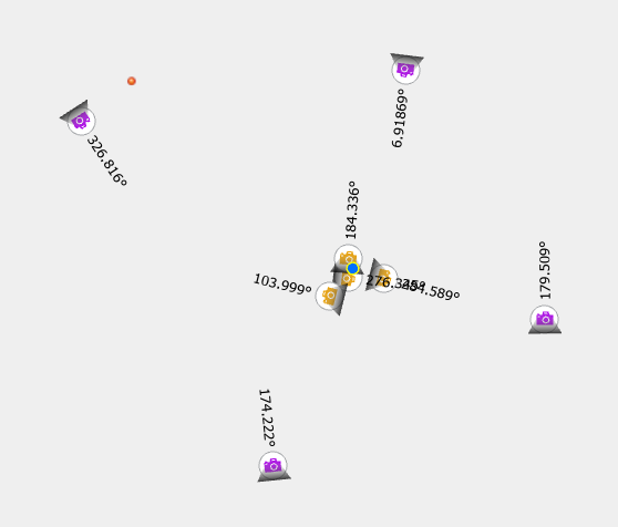
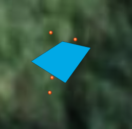
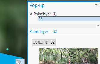
I exported photos to points following the instructions here and here, using photos that we had taken on Collector/S123, then exported. The end result is a feature class that has a list of ObjectID numbers in it, and nothing else.

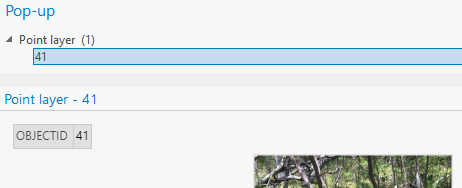
The original files were correctly labelled based on the geometry they were related to. How can I create a feature class of photo points that is labelled meaningfully or easily related to the source geometry, without having to go back and comb through my photolog?
I am also wondering if someone could confirm something for me. I think I saw in the user conference this summer that photo points showing direction were coming to soon/are in Workforce already, but are not coming to S123 for a while. Is this correct?
Thanks!