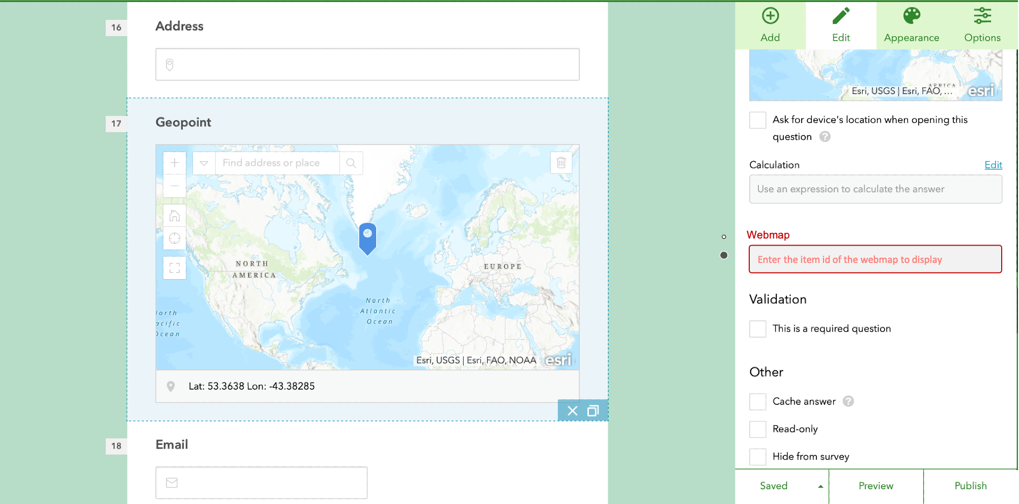
While already possible to do using Survey123 Connect, a great enhancement for the web designer would be the option to specify a specific web map to display instead of using a standard empty web map when configuring a map/geopoint question. Custom web maps would have additional contextual layers in the web map which might aid users completing a survey, for example if a survey response had already been submitted reporting something, a feature could be displayed in the webmap and the user completing the survey would see that when they visited the location where they wanted to report something.