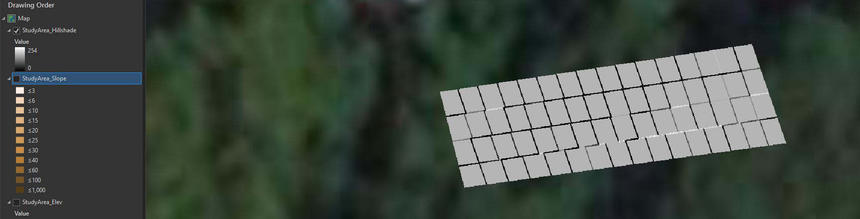
Images from ArcGIS Desktop, but Online showing same thing. I am a student doing my best to build a raster from scratch. I have chosen a study area drawn as a polygon, that I then want to convert into a raster because I have collected data on it using a grid system of letters and numbers. The process has been draw a polygon, then modify the polygon with the divide tool. This appears to work okay (cells not aligned, but it's fine for this purpose.) with the polygon to raster tool, but every subsequent raster tool is affecting only the outline between the original cells. Any suggestions on what to try here??
Drawn Polygon, after divide tool used:
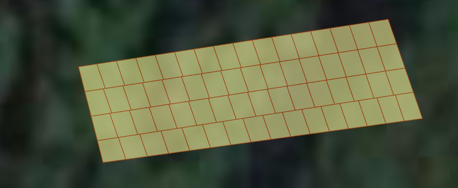
Result of Polygon to Raster (Elevation):

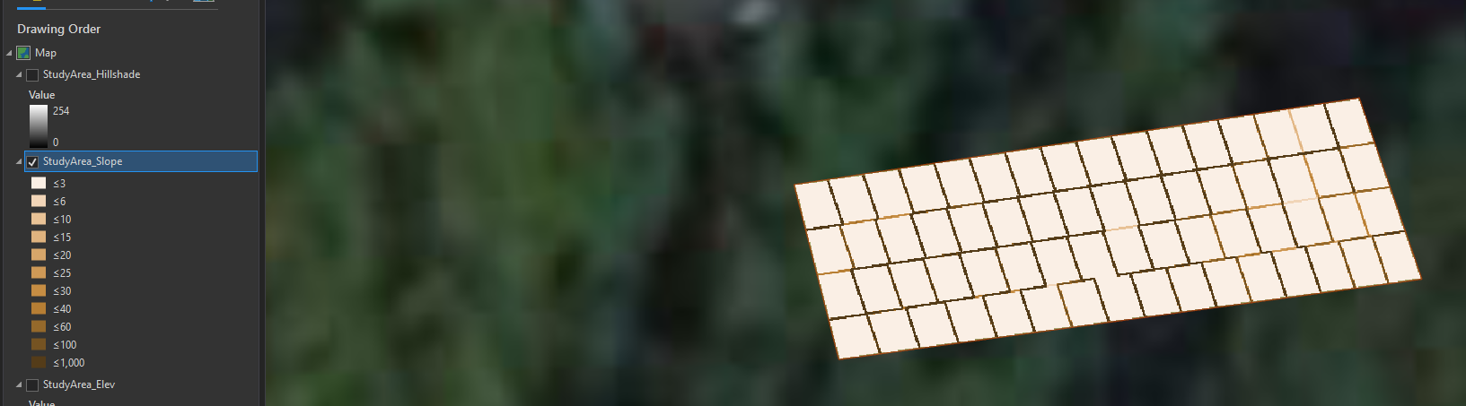
Result of Slope Tool, using raster above. Looking at the lines in-between cells, those are where the tool output is being generated...
Result of Hillshade Tool, using elev raster input: