I'm new to Data Interoperability. I hope you can help me for solving my problem.
I'm trying to add ETL tool to web application by using ArcGIS Data Interoperability for Server. I created a tool which reads the WMS of feature class in sde and export the features of object to CAD file by combining in zip. Like ESRI suggested, I added ETL tool to model in toolbox. Everything is okay so far.
But after publishing ETL model, when I test ETL CAD model, I get an error which shows that the tool is not valid. I tried many different cases and changed different parameters in ETL Wizard. After many tries, I get the same result.
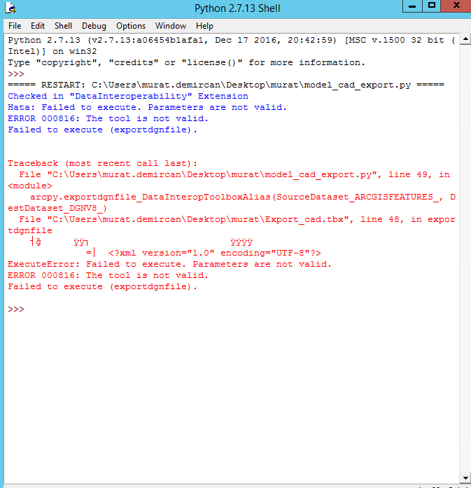
To specify the problem, I exported the model to Python script. I changed the necessary corrections on Python script. But unfortunately, I get the same result. When the function of spatial tool has been started, I get an error.
I searched different solutions for ERROR 000816. But I couldn't get the result from those posts for my situation. And finally, when I run ETL tool in python script, I get the error for parameters with some XML syntax which I don't know where they come from.
Btw, I checked that if when different model was published to Arcgis Server, it is successful.
Thank you for your help.



