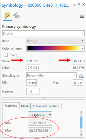
Hello. I am using ArcPro and I have imported thermal infrared raster images (as TIFF files) which have a min and max value representing the stretch of thermal temperature data. I want to change the min and max values of my rasters so to alter the color/range of temperature values.
I know you can change min / max in the Symbology tab, but for me it is grayed out and I cannot change the values. I think there is a way to get around this issue. Can anyone help?