Hello
I am trying to create w web application in AGOL that uses my own data and the Sustainability Modeler widget. I was able to create the correct Image mosaic, share it through our enterprise image server and get the web app built. You can see it here: https://arcg.is/0unvDH
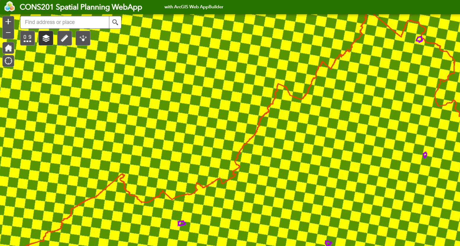
The widget all seems to work fine and I can compute a chart based on any of the town polygons I added. The problem is that the model runs and produces an output image that is just a large grid of two different colors. Photograph included here. The blocks show in the image are on the order of a few kilometers by a few kilometers while the resolution of all the input layers is 100 meters by 100 meters.
The output of the model appears in the layer list as "rest-xyz/xyz_WRO_Mosaic.
Is there anything I can adjust so you can actually see the output weighted sum suitability model.
Thanks