I'm attempting to combine 5 1x1degree Wyoming DEMs from the USGS database. Ultimately, I need to create a custom DEM for a southern rockies study area to use for my project. My most successful attempt has been using the mosaic to new raster function, but the result has a blank area that shouldn't be there. I'm pretty new to working with rasters, so I'm not sure where I'm going wrong. I did try out other mosaic operators (blend and mean) but using those made the blank areas larger.
My attempt:
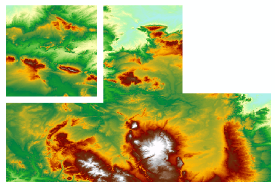
The original rasters:
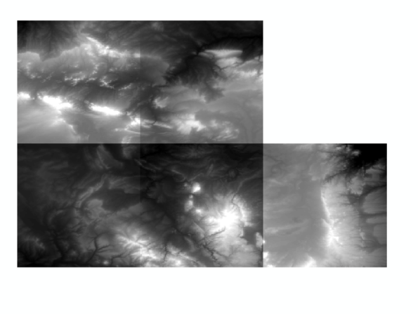
I would appreciate any guidance on either using this tool correctly or direction to the correct tool to use to merge the DEMs needed for my project.


