Hi,
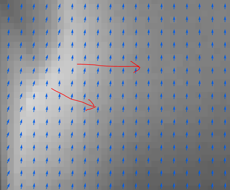
Pretty much a noob to processing raster, but I've managed to take some LIDAR data and create a DEM. From the DEM, I've created a slope raster. Symbolizing it as a vector to see all the arrows, I was hoping it would show me the direction of the slope, but all the arrows are just pointing the same direction.
Any guidance on how to properly process my DEM so I can see both slope and direction in the same raster so all the arrows point in the proper direction??