We recently updated the feature classes stored in a SQL database that included changing the geometry storage type from 'High Precision using ESRI Binary spatial type' to 'High Precision using Geometry spatial type (SRID 6557)'. For various reasons, we have always used true curves when digitizing spatial features and continues this practice after the recent updates with no apparent issues. However, I just noticed that the curves change to densified line segments after an attribute change. See below...
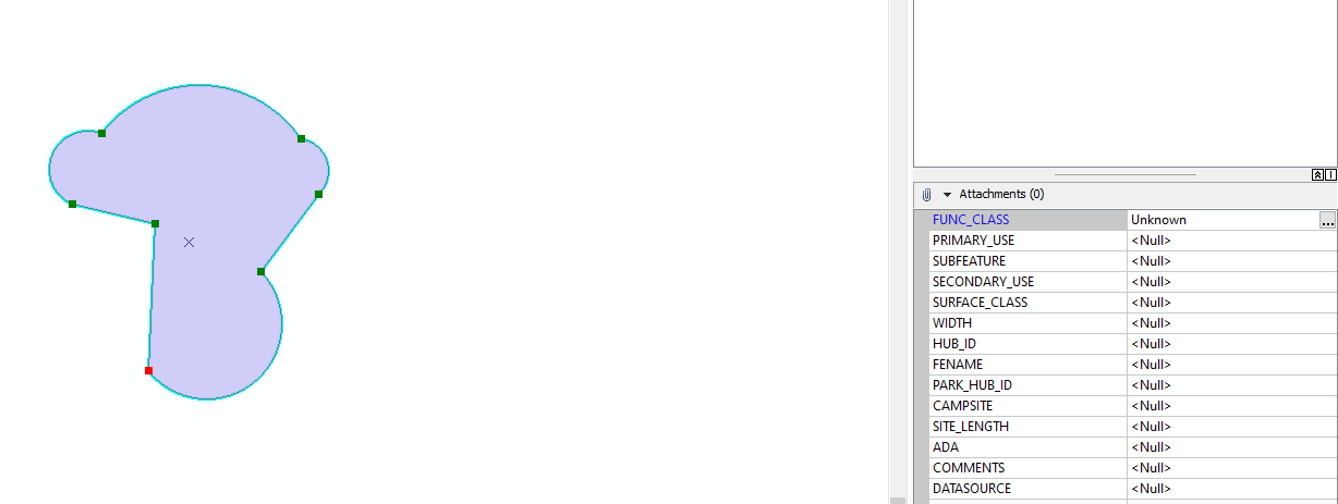
Before attribute change - Polygon was saved and stored:
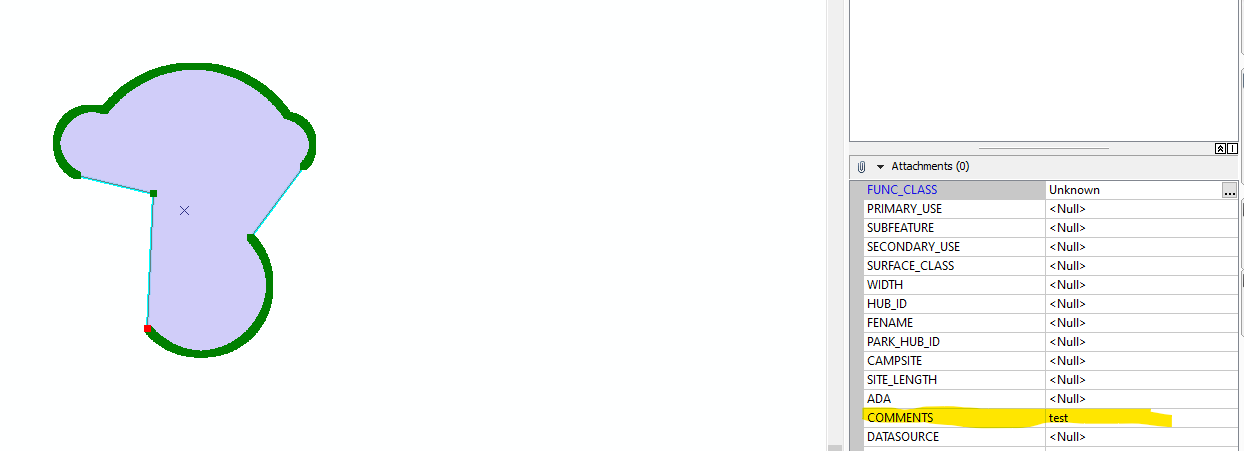
After change - curves are now densified line segments:
In all my experience working with ESRI products, I've never seen the updating of an attribute field result in the changing of the geometry of a feature. Can someone help shed light on what is happening here?
Thanks,
David


