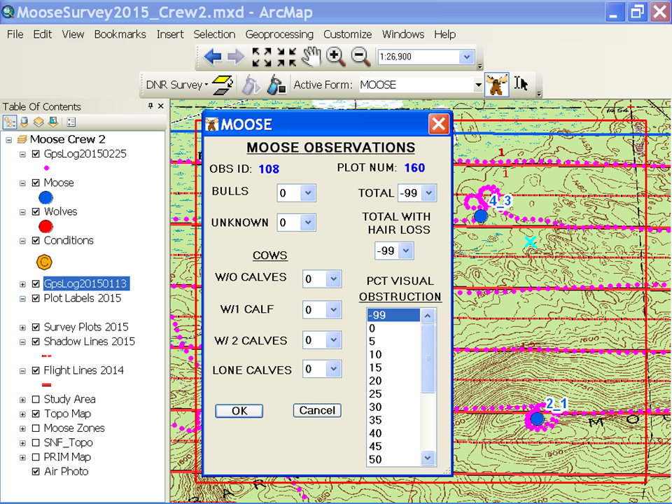
We are evaluating Field Maps for conducting aerial surveys of wildlife. Critical to these surveys is the map extent automatically re-centering on the device's location when the location "marches" off the display, so the observer is always oriented to where they are. In the screen shot below, the square red box is a user-defined moving map window: when the real-time location marker reaches the edge of the box the display is automatically re-centered.
I will not have access to Tracker until after the new year and the documentation for it wasn't clear on this. I did download a Street level map and walked until the location marker went off the map, but the map extent did not change to keep the marker on the display. Hopefully I'm just missing something.
Note: I did watch the demo regarding streaming a park trail feature and did see the map adjust, but that is not what we need to do. We just need the map to stay centered on the observer's location so they can mark observations of critters they see out the window. Thanks.