Hi,
I'm working with Drone2Map for ArcGIS (final release) and I can't get it to process drone imagery that worked in beta. I get the message below that an XML file validation failed:
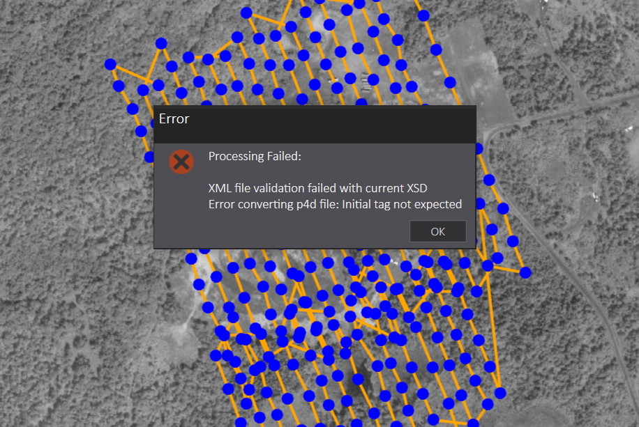
Odd thing is that the sample data that comes with the software can be processed.
When comparing the underlying .p4d XML files that get generated by Drone2Map I see some minor differences between the sample data and my data but nothing that points to an error.
Anyone got their own imagery to work with Drone2Map for ArcGIS final or have a suggestion to solve this?
Thanks,
Mike






