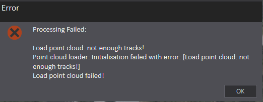
When I process this model (see image) in Drone2Map, it keeps throwing the error "Not enough tracks!" Has anyone else encountered this or a similar error? If so, how did you resolve it?
Thanks in advance to anyone who might be able to point me in the right direction.
Here is my track:
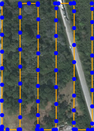
Track was flown with Pix4DCapture. Settings are:
*55% overlap
*85 degree angle
*Fast speed
*50 metres altitude
The report showed some error, maybe this has something to do with the cause?
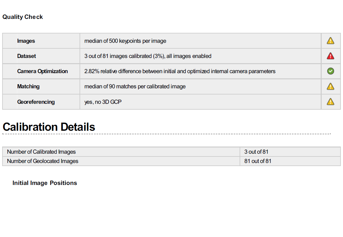
I tried creating an orthomosaic with automatic resolution. For the initial processing, the settings were on:
*Rapid (for keypoints)
*Aerial Grid or Corridor (for matching image pairs)
*Automatic targeted number of keypoints
*"WGS_1984_UTM_Zone_17N" coordinate system with Vertical Reference "EGM 96"


