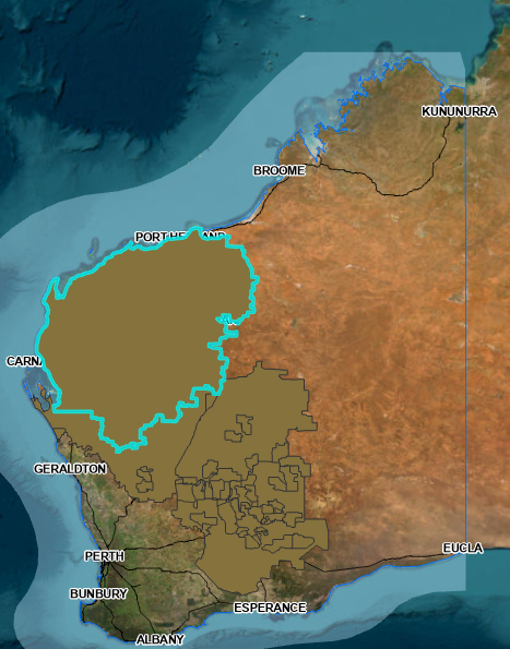
I have 2 datasets that were put through a union and using the output I have then calculated the geometry to get a Hectare area figure. It's a broad layer covering a vast area of Western Australia.
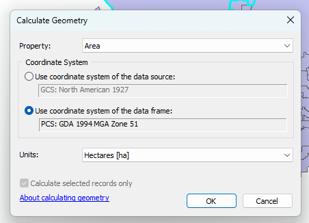
In ArcMap, we calculated the geometry using 3 different coordinate systems and got 3 different areas (as we expected we would).
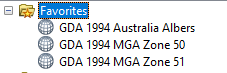

I have then repeated the process in ArcGIS Pro (same data sources and process) and got the below results - and not only do the figures differ from the ArcMap results, but they are the same from projection to projection (this is what originally got us looking closer as we expected different numbers).
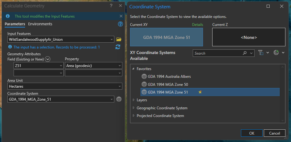

The Albers figure is closest to matching between the ArcMap and ArcGIS Pro figures which makes sense as it's a broader scale projection compared to Zones 50 & 51, but still differs.
Can anyone explain either what we're doing wrong or why the results in ArcGIS Pro are seemingly consistent when they shouldn't be?





