I have a raster map that has red areas in it. I want to extract the red areas as a polygon FC for spatial analysis purposes (find where the red polygons overlap a different polygon FC).
Unfortunately, the source vector data isn't available from the government organization that produced the map (1980). So I'm hoping to extract the red areas using GIS tools instead.
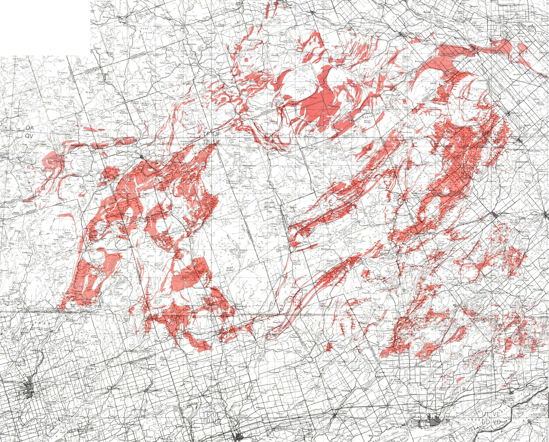
I've georeferenced the image in ArcGIS Pro. Next, I think I need to:
- Remove pixels that aren't red.
- Convert the red pixels to polygons.
What's a good way to do that?
ArcGIS Pro 2.6.8; Spatial Analyst Extension


