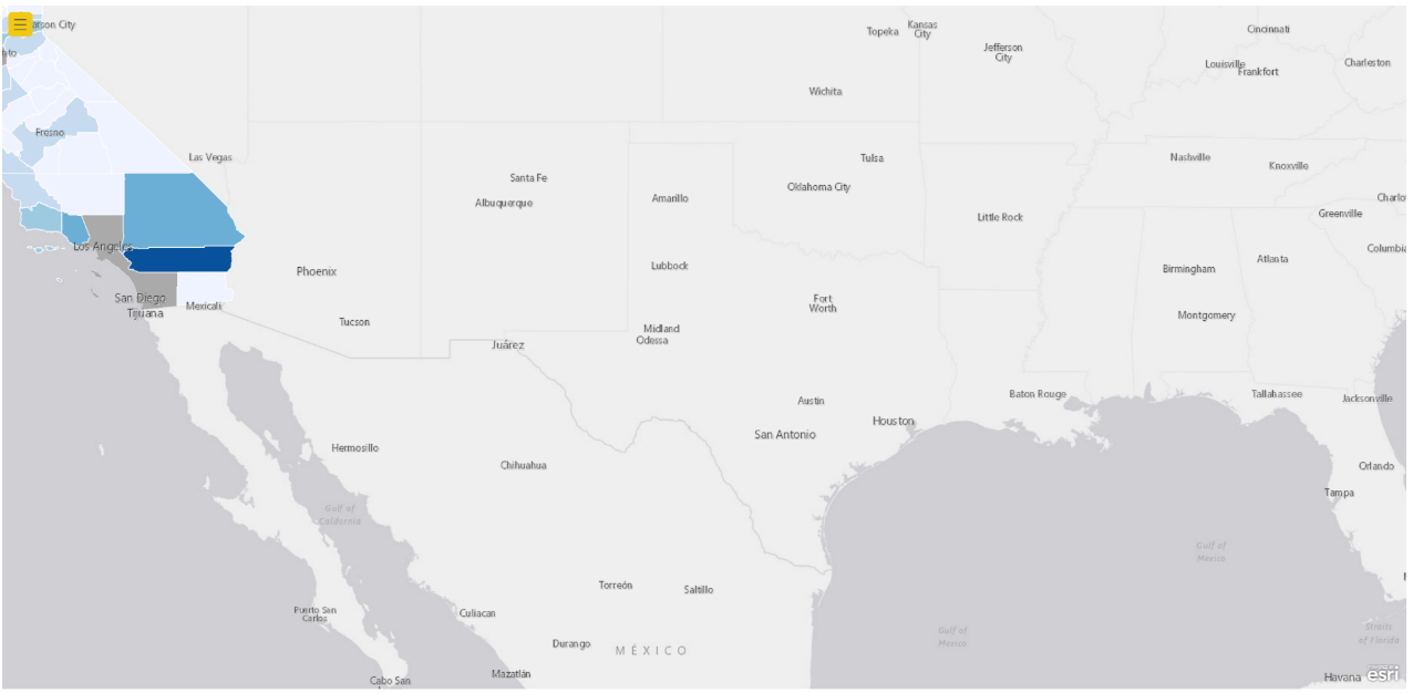
Since we are unable to 'drill through' using an ESRI map, we are using a shape map visual to drill through on counties and ZIP codes by state. In Figure 1, I drill through on California to select either county or ZIP code. In Figure 2, after selecting county, California does not zoom to layer. It zooms to the previously selected state. In this case, Texas. In the past, this feature used to work fine but now it does not. Thank you for any advise you may have.
Figure 1.
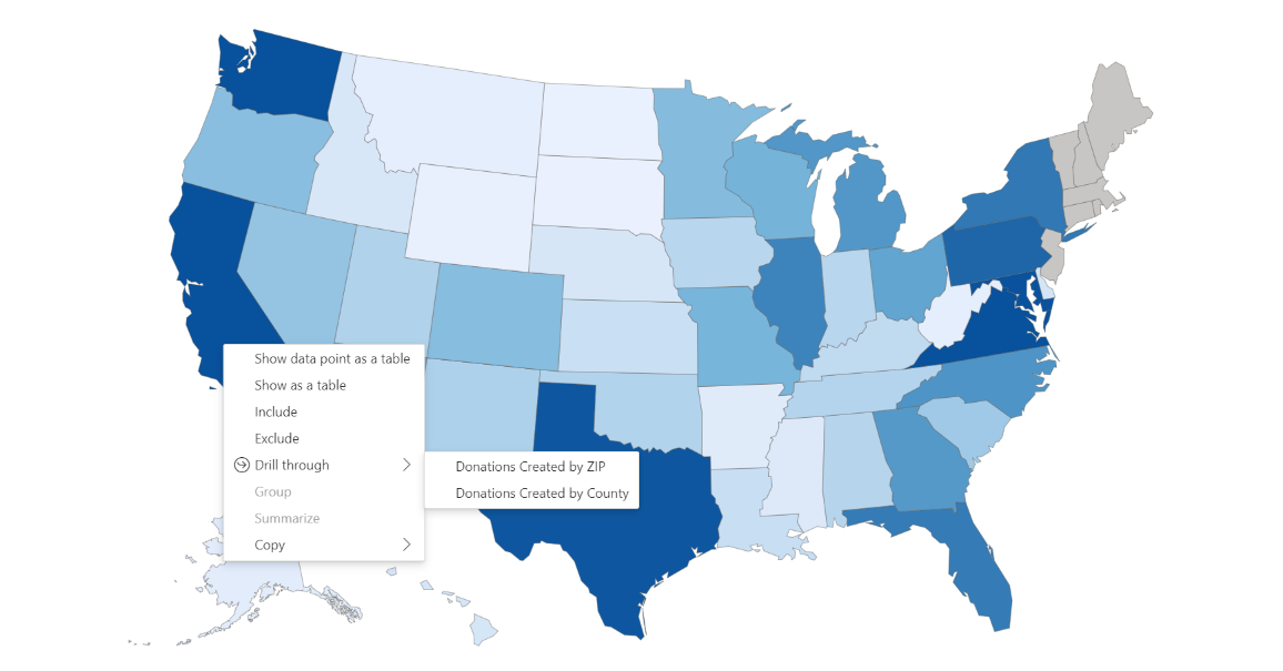
Figure 2.