Hi All,
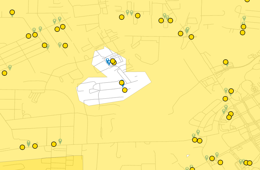
I am doing service area analysis in ArcGIS pro. when I import the Facilities points into the network and run some facilities doesn't produce any polygon. Also, my points are exactly at the nodes on the streets but the yellow points are slightly away from the network (I don't know why such behavior).
Moreover, I have polygon features like parks and supermarkets how can I compute their areas? If I convert them to the point feature, it is not connected with the network.
Thank you for your time and consideration and apologies for any stupid question being a beginner.