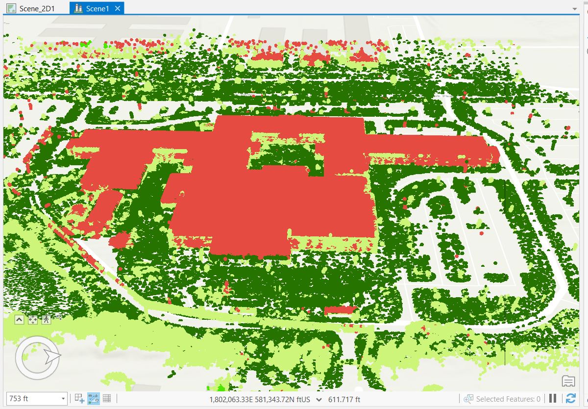
I am working with a set of LIDAR data collected at a local school with the objective of producing a 3D multipatch of the building. I am using the 3D Basemaps package to achieve this. I believe I have all the data needed and am following along with this video https://www.youtube.com/watch?v=IK4TFmPe2a8&ab_channel=EsriEventsEsriEvents
After I am generating the DSM, DTM, and nDSM files requires for the "Extract Roof Form" tool, it comes out as a polygon after I apply the LOD2 symbology layer supplied by the 3D Basemaps folder.
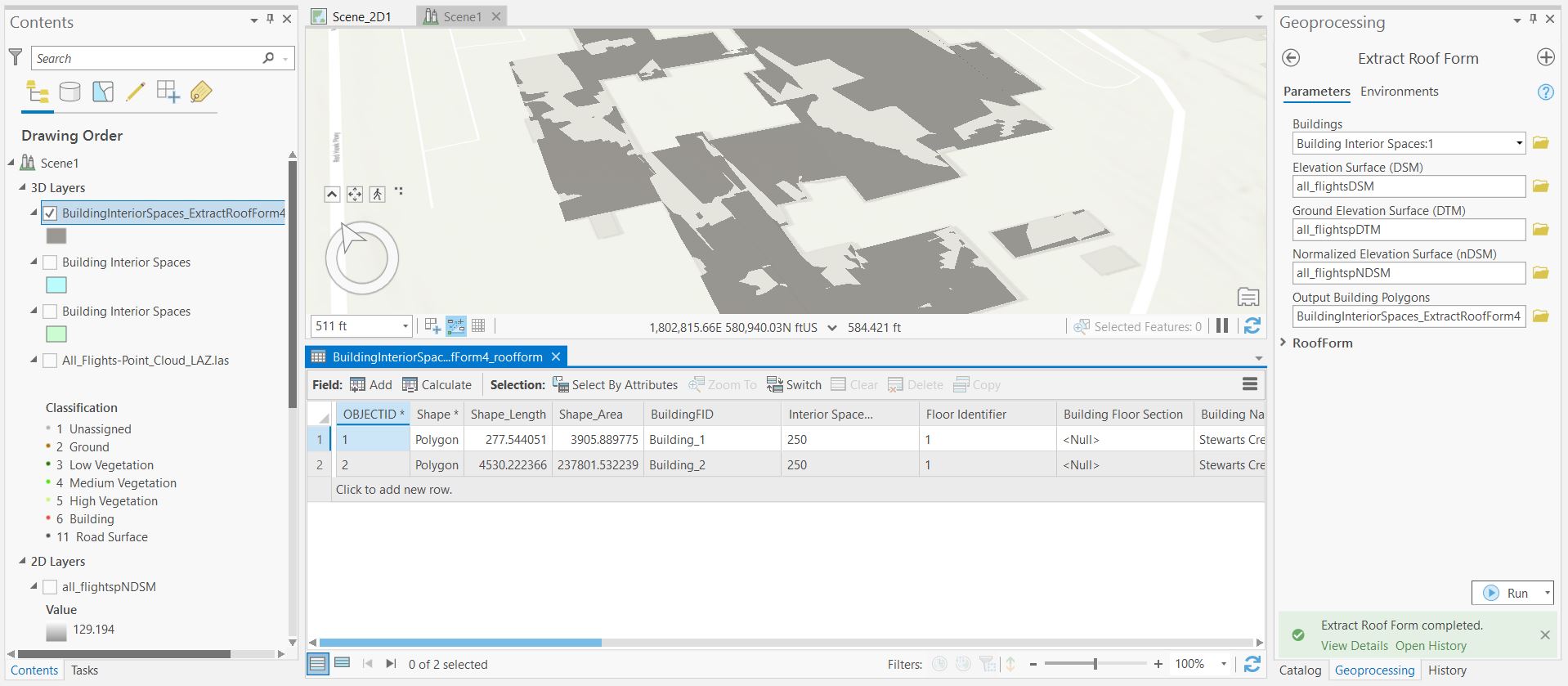
It appears to have height values when I look at the attributes but I am not certain what is going wrong here. I am pretty new to ArcGis Pro so any help would be appreciated.


