I got administrative maps level 1 shapefile from GADM [gad,.org] and Agriculture production Geotiffs from SPAM [mapspam.info] and run Zonal Statistics as Table SUM
The picture shows that for region VEN.15_1 the calculate sum is much smaller than the value in the indicated pixel, which centroid is within the region.
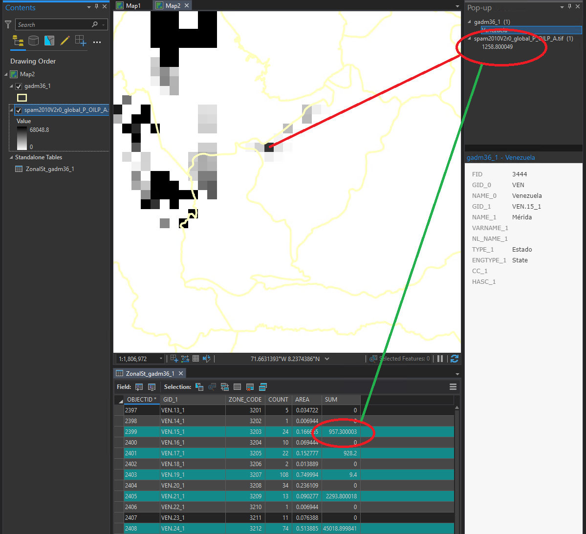
That problem repeats throughout the whole world producing results that differ from other tools that does include pixels like this one.
Is there are parameter that need to changed in order for the tool to change the behavior.
Thanks for any suggestion.




