Hello, I am having an interesting issue with ArcGIS Pro not displaying the polygon boundaries of a WMS layer but displays the labels.
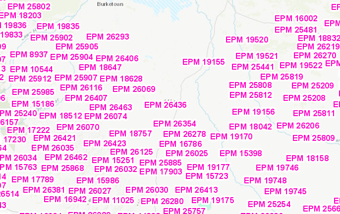
If I load the following layer Layer: EPM Granted (ID: 3) into ArcGIS Pro then only labels are displayed.
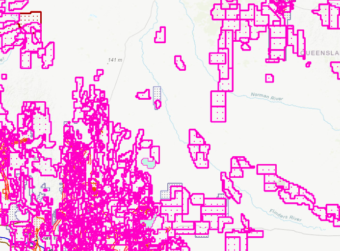
IF I load the full WMS Economy/MinesPermitsCurrent (MapServer) then it shows all the layers and
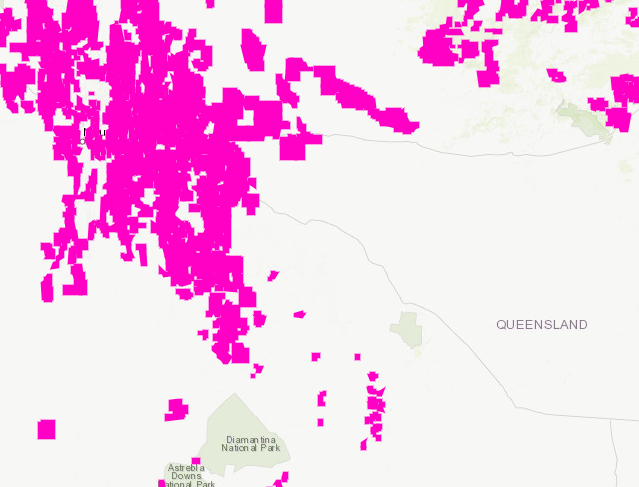
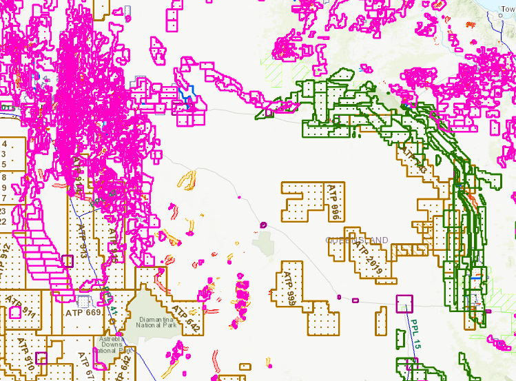
If I do the same in Portal for ArcGIS I get all layers showing
Can anyone shed some light on why this might be happening please?

