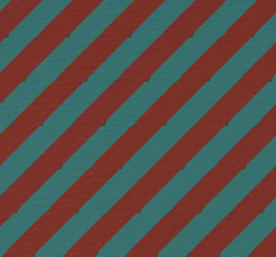
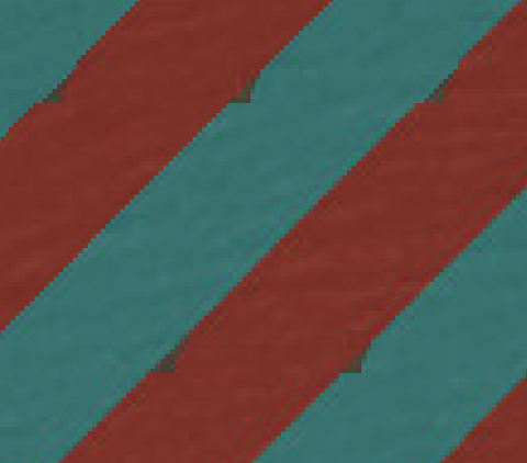
We are creating large maps (24” by 36”) in PDF format that are required to be turned in with a 400 dpi resolution. At this high of a resolution, I am seeing some artifacts that don’t look so great. I have been troubleshooting by exporting a variety of maps with different PDF settings, but so far I have not found a setting that fixes these issues. I have even tried bumping up my Temporary metafile size limit and Output raster buffer size in the Advanced ArcMap settings utility (to 96 and 24, respectively).
Has anyone else seen these artifacts before / does anyone have ideas?
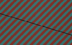
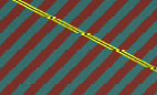
Issue #1: When viewed at 1:1 level (as in the images below), line features over this striped polygon appear ‘broken’. Interestingly, when viewed at 400% level, the lines look fine.
Issue #2: Zooming in on the map (to 400% and 1600%, below), this particular polygon symbol appears to have small triangles missing. There are only supposed to be solid red and blue stripes here.