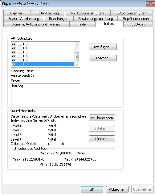
How can I recalculate the spatial index for a featureclass in SQL Server programatically?
I already use the interfaces IIndexEdit and IGeometryDefEdit to recalculate the index by cloning the old index, following the example "RebuildSpatialIndex" in the developer help.
But I have to recalculate the extent because of performance issues. I can do it in ArcCatalog (Button "Neu berechnen" in the picture above), but how to reach the functionality programatically?
Thanks for any hint!
Frank



