So I have mountain trails/tracks as polylines and I want to determine their difficulty/grade: easy, medium, difficult. In order to do that I have to work with slopes and elevation. I am using ASTER SRTM for that manner. I followed these instructions but the values I'm getting for the slopes are weird (see the picture).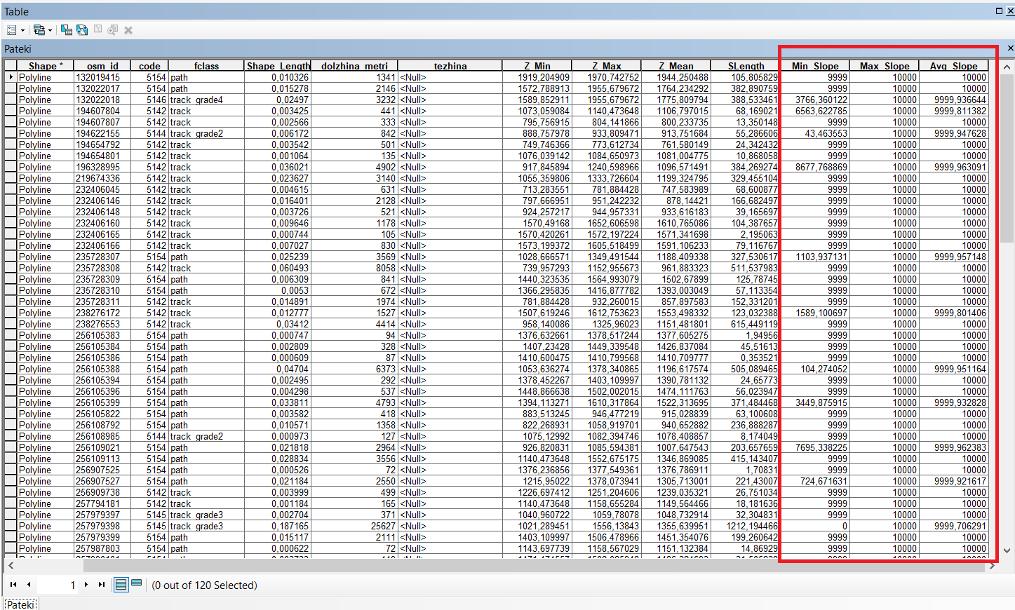
What am I doing wrong here? Is there any other way for me to find the difficulty of the tracks?
Thanks in advance.


