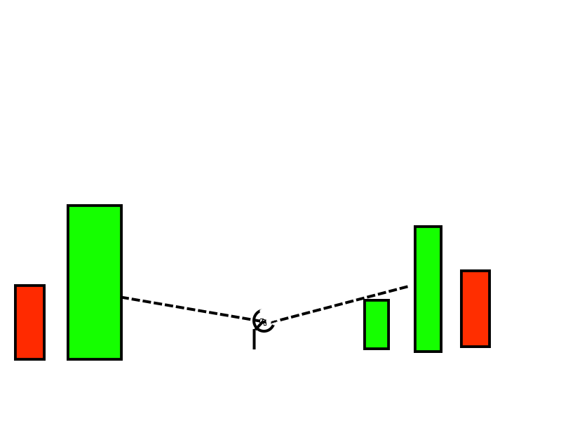
I have raster substrate. On top of it placed polygons with height in their attributes. I need to detect zone of viewsed from arbitrary point. The problem that all tools work only with rasters. But my object is polygons.
Example of my data. I also need to way set angel params and height of point. Let's image point is Radar station and I need understand what territory is viewable.