I have received imagery from a surveyor that is currently falling within the Northern Hemisphere and upside down. The following is easy to resolve if its a CAD drawing using the "Transformations" tab under the properties window of the CAD layer within ArcMap. Is there a way to apply the same transformation using Python for each image tile?
CAD: Transformation
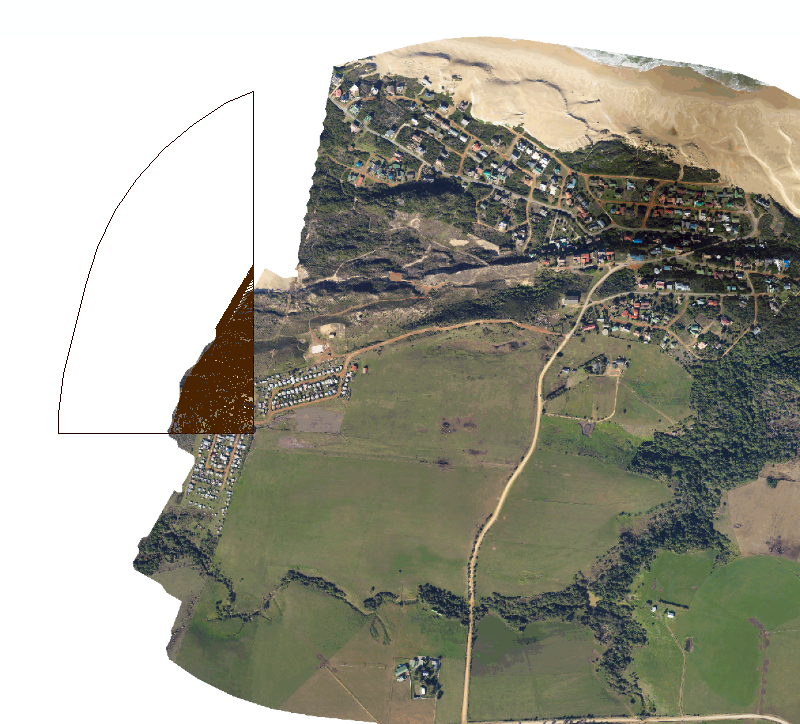
Original Position: Northern Hemisphere and rotated.
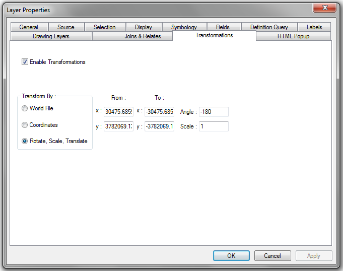
CAD: Transformation and Rotation
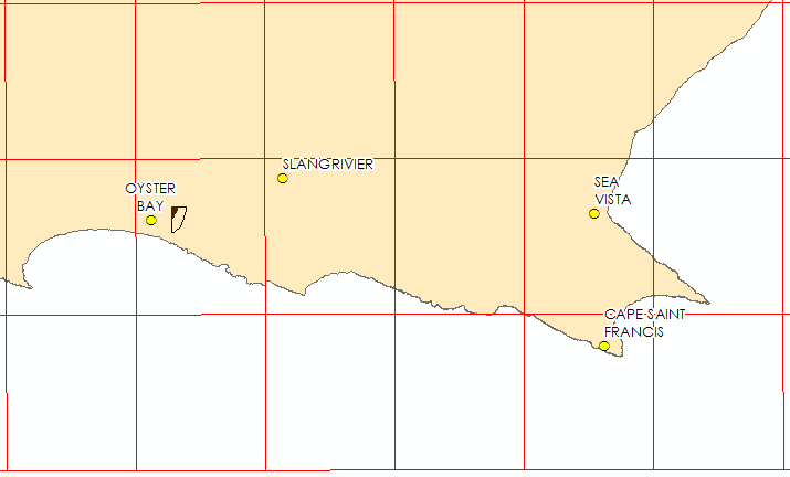
CAD: Transformed (correct location)
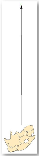
Imagery: Current Imagery (Northern hemisphere and rotated)
Any assistance to achieve the following will be appreciated.




