I am trying to run a city-wide analysis to define the stormwater catchments using the DEM and catchbasins only, as we are looking at just surface runoff watersheds and also don't have access to the stormwater infrastructure pipe network.
I am seeing this anomaly where there are long straight lines at certain points throughout the city (see left side in the screenshot), but in other areas, the watersheds output looks as expected. I am using the following workflow with Spatial Analyst tools:
1. Fill
2. Flow Direction
3. Flow Accumulation
4. Snap Pour Points (Catch Basin locations)
5. Watershed
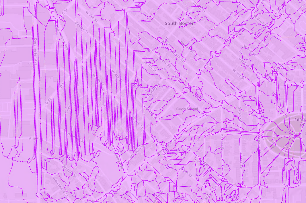
Any insights on how best to troubleshoot this is much appreciated!

